Our normal river height is around 2.9m and a flow of around 70m3/s or below is considered ‘green boards’ 70-110 is ‘yellow boards’ and anything above 110 is ‘red boards’, the increased flow is usually accompanied by an increase in river height.
The river conditions are posted on the locks and also on the environments agency website for each section of the river.
For our boat club the colours mean the following:
Green means anyone can go out, but perform a personal assessment of the conditions
Yellow means quads, fours, eights, experienced doubles and very experienced singles only, risk assess as above.
Red means no rowing on the river
We have pretty much been off the river since about mid November due to rain and high river flow.
Most of this has not really caused an issue as it is being ‘flushed’ out of the non tidal sections and into the Tideway by the Environments agency using the weirs by the various locks.
The water level never really became excessive and the flow only went up to around 180-200m3/s, on several occasions it became tantalisingly close to returning to ‘yellow boards’ when it would rain again and push it back up to ‘red boards’.
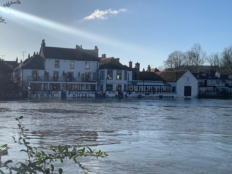
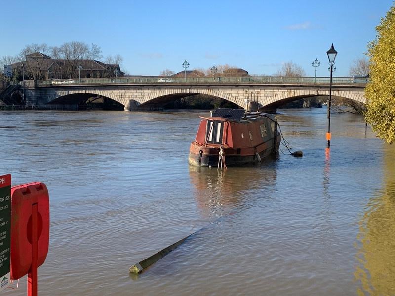
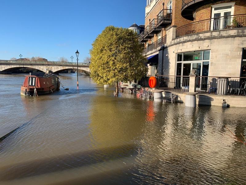
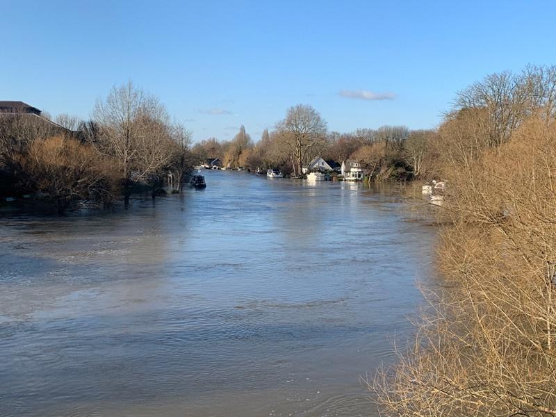
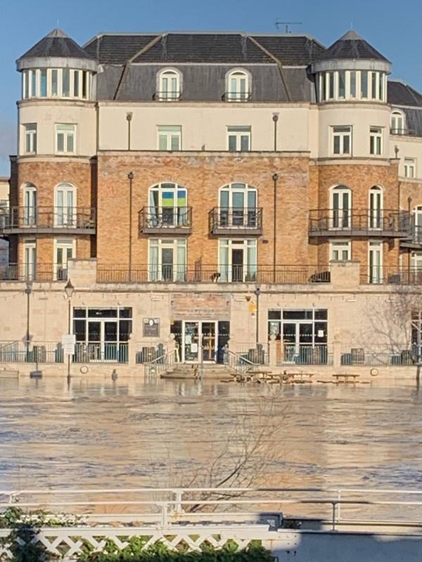
In the last couple of weeks, we have had a lot of heavy rain and the river has been slowly rising, despite the best efforts of the environments agency.
On Thursday we had some very heavy rain and by the evening the river height was up to 3.7m and the flow was up to 235m3/s.
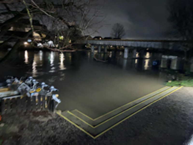
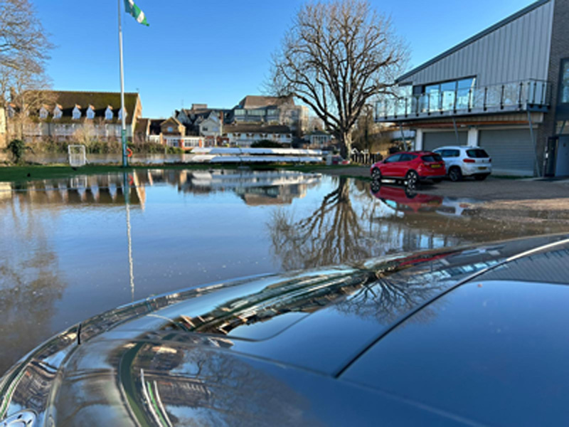
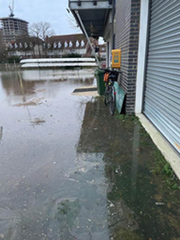
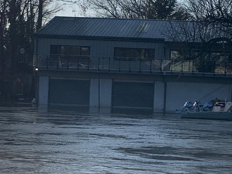
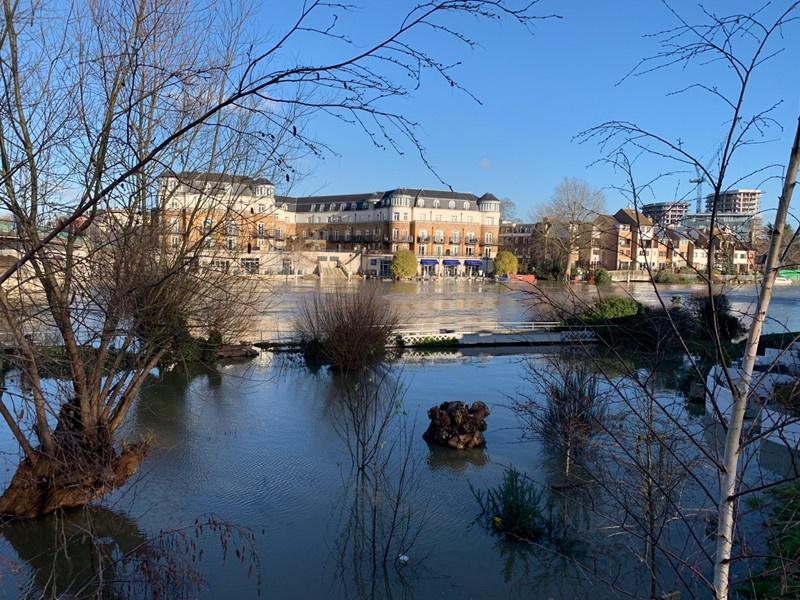
At around 3m of river height we start having water over the landing stage, at 3.3 we start to lose the first step, at 3.7 we had lost the second step and the car park was flooding due to the excessive rain.
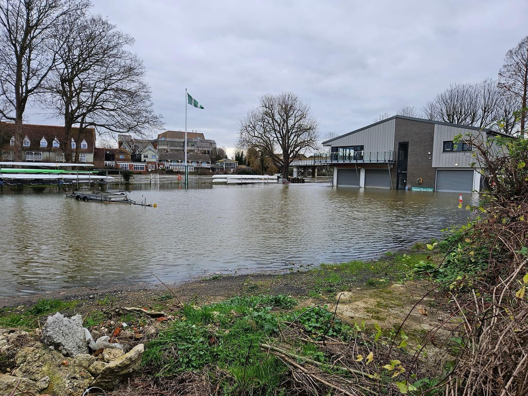
By Saturday morning the rain from Thursday was making it into the river system and the river was up to 4.2m and flowing at over 300m3/s.
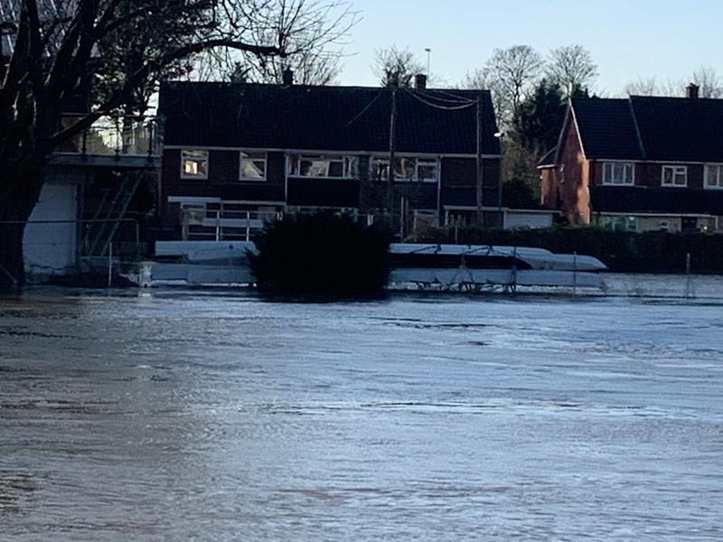
One of our members, Mark G, lives about 1500m down from the boat club he has been away, he lives in the USA and went back for Christmas, he came back to this:
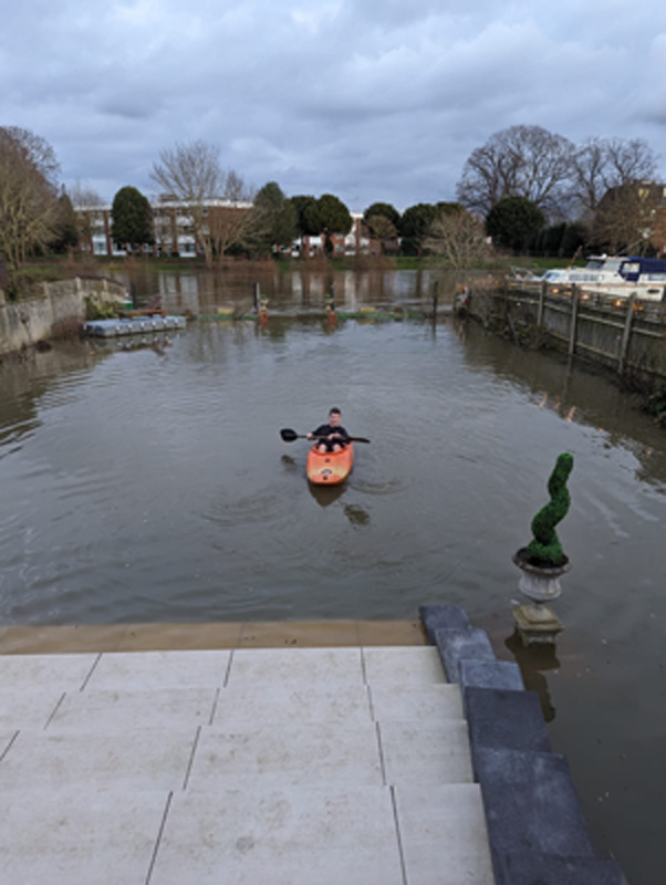
That’s his son kayaking in their back garden!
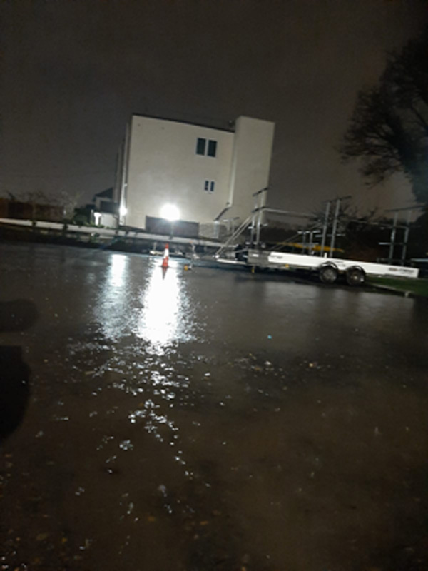
By Sunday the river was even higher at 4.4m and flowing at 323m3/s, all the stepsfor the landing stage are now under water and the car park is starting to flood.

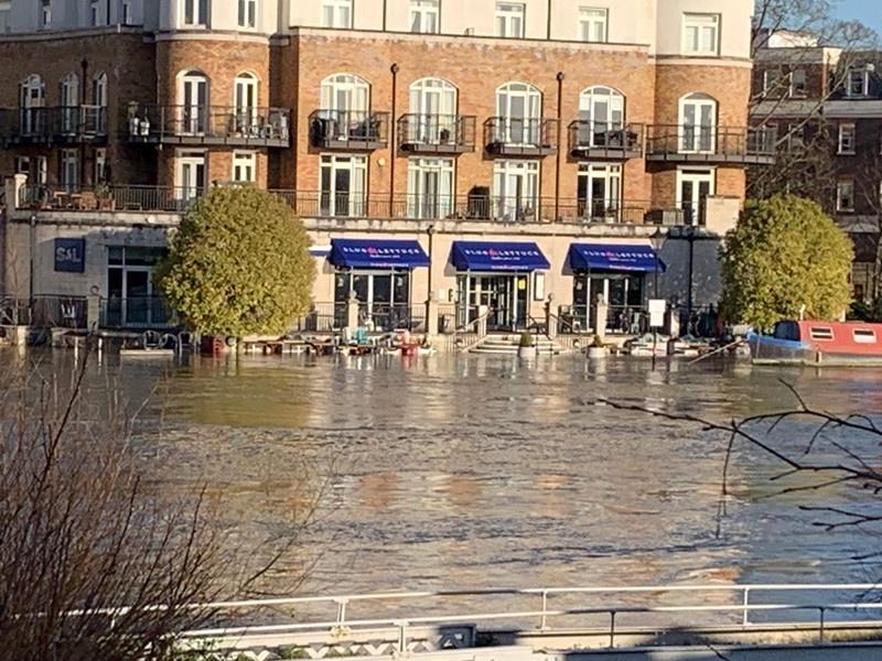
This morning the river is higher still at 4.66m and the flow has stopped registering any further increases beyond 327m3/s, but is almost certainly faster than that.
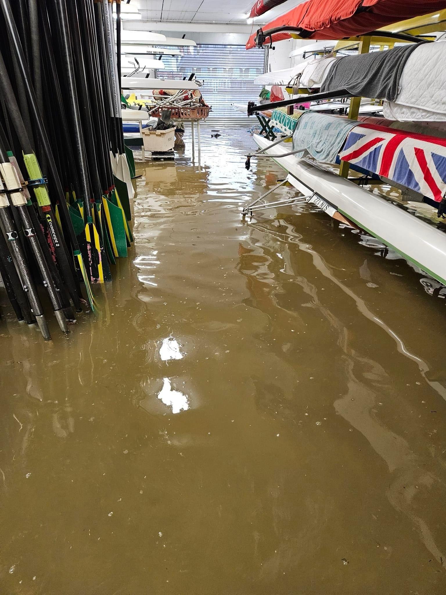
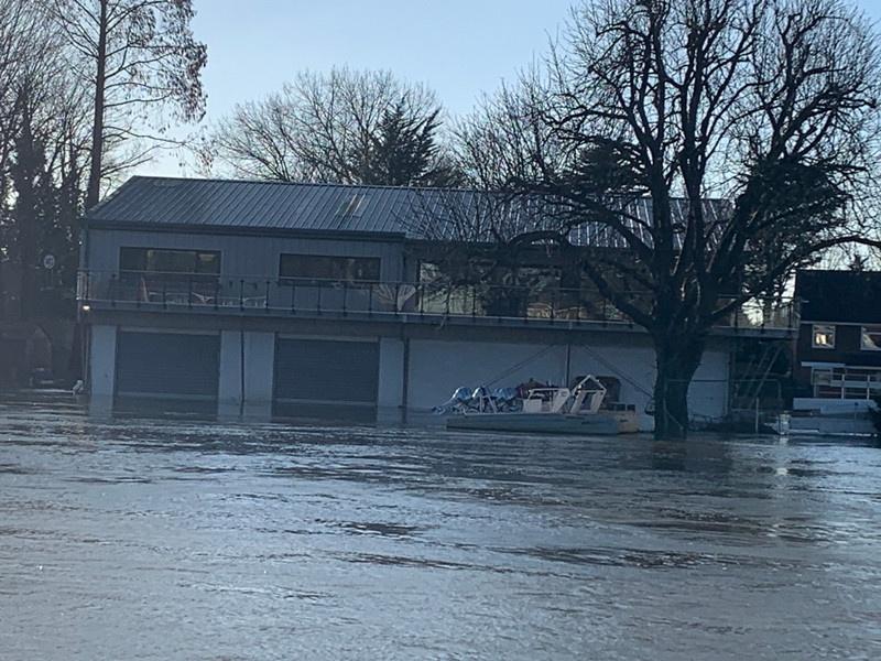
We are now only around 5cm from the boat house itself starting to flood.
Fortunately it was designed to be flooded.
For anyone interested in the fundraising and history behind our new boathouse, the story is available to read here on the British Rowing website.
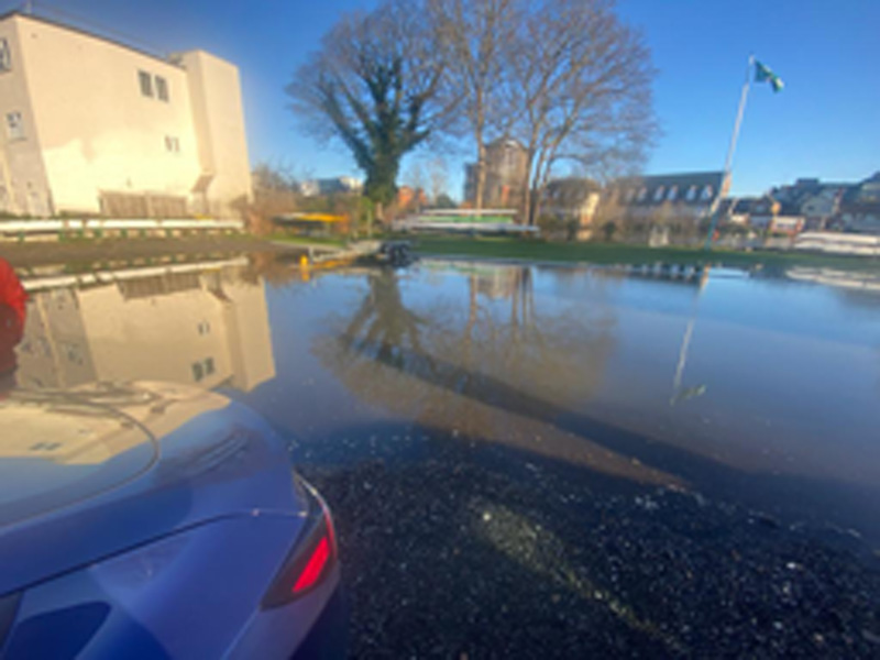
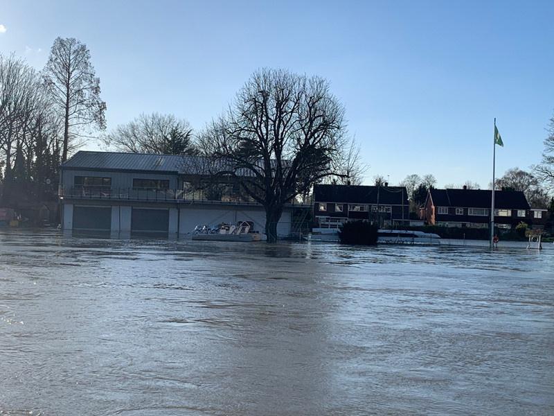
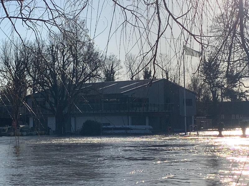
Update at midday 8th January, the boathouse is officially flooded, river height is now 4.7m:
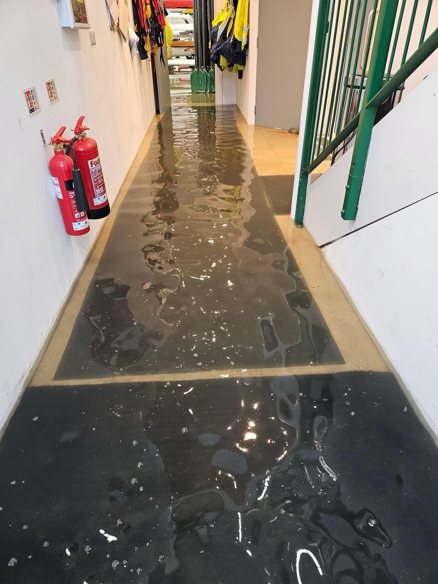
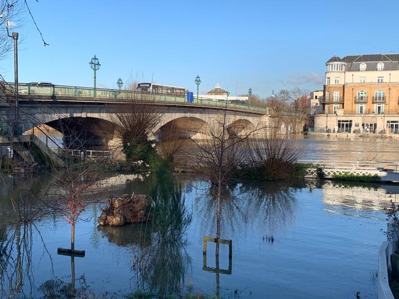
The water level is finally falling after peaking yesterday at 4.74m.
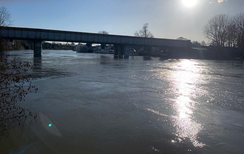
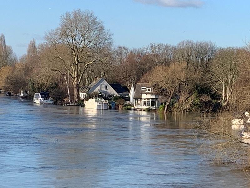
I was in at work in Staines yesterday, so went for a walk at lunchtime and took some more pictures.
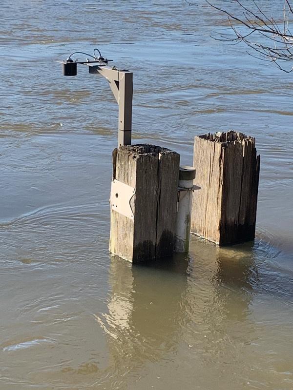
This is the monitoring station that checks the river height and flow, the white section is the high of 4.955m from 14 Feb 2014.
It is located diagonally opposite from our rowing club.
Some drone footage taken by a guy called Jed Pause that was posted on Facebook, it shows the Penton Hook lock which is at the bottom of our stretch of the river, he only just shows the ‘Silvery Sands’ Holiday camp where we turn around, the rest of his footage is from the next section down, so includes Burway Rowing Club’s boathouse
We spent Saturday morning cleaning the boathouse, removing the bottom 3 layers of boats (and other ‘crap’ from the floor that was simply relocated from the old boathouse, most of which should have gone in a skip) so the floor could be pressure washed while we washed down the boats.
We only had enough space on the lawn for one bay’s worth of boats at a time, so also a bit of a juggling act. all fun when the ambient temperature is close to freezing.